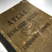
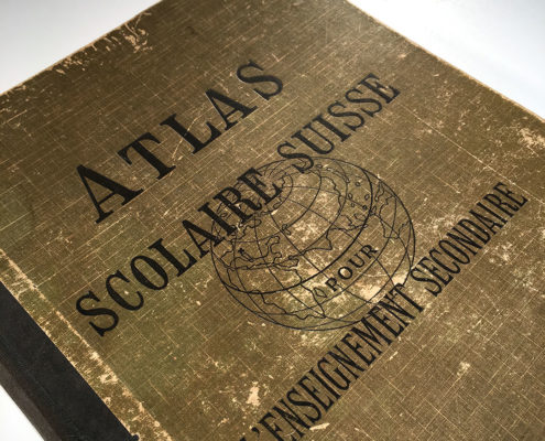
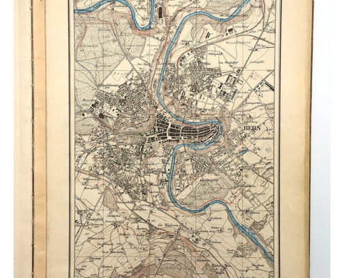
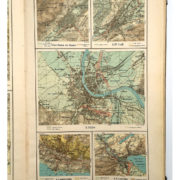
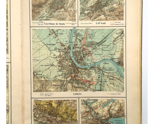
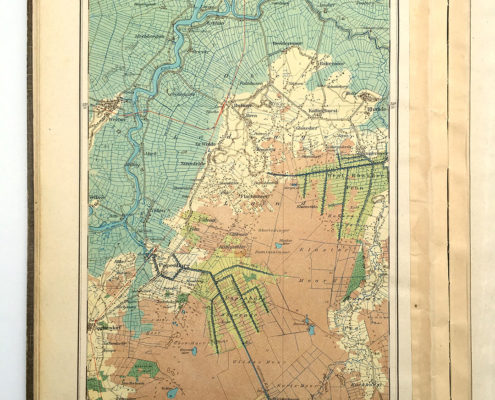
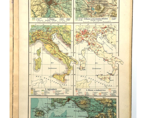
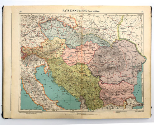
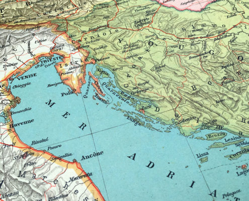
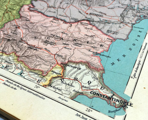
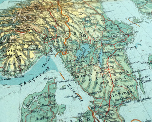
Antique 1928 Swiss School World Atlas for Secondary Education with world maps, political maps and others – Created by the artistic institute of Orell Füssli, Zurich.
- Complet album
- 136 pages / 68 sheets
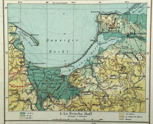
- Maps: Switzerland – Germany – France – Italy – Countries of the Danube – Scandinavia and the Netherlands – Great Britain and Ireland – Iberian Peninsula – Balkan Peninsula – Eastern Europe – Europe – Asia – Africa – North America – South America – Australia – General Geography
This would make a stylish addition to any bookcase.
Editor
Publié par la Conférence des Chefs des Départements cantonaux de l’Instruction publique et subventionné par la Confédération.
Creator/Printer
Institut artistique Orell Füssli, Zurich 1928
Distributed by
Librairie Payot & Cie, Lausanne, Switzerland
Content
136 pages, 68 sheets
Condition
Good internaly, cover as shown
Dimensions
Book: 35 x 24 cm
Sheets: 34.7 x 44 cm
Number of Items
1
Article Number
Nr.: 2482
Price
CHF 40.-
Delivery
This item can be shipped or collected at our warehouse in Biel, Switzerland.
Please contact me for further information.

